
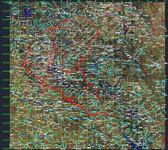
Shows the curves l basin level of cajamarca and san marcos; this can pls use to determine the watershed existing. and also for road design.
Confirma el mail en Facebook e intenta nuevamente.
Confirma el mail en Google e intenta nuevamente.
_ACCOUNT_INACTIVE_ [email protected].
.")