
District map huarmaca dwg
.")
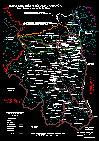
It has been drawn and scanned part of the national charter, the huarmaca sector; sondorillo, with their basins and several houses and annexes - the district represants 44% of provincial territory, this work dedicated to the memory of carlos neptalí to help us start this digitalizati on in 1992 in the district of huarmaca - peru maps