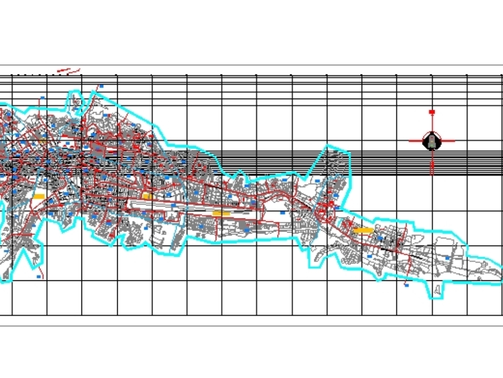
Plane dwg; with utm coordinates of the city of cusco of the year 2001 represents the different zones and sectors that comprise the different districts and the historic center in autocad - dwg.
Confirma el mail en Facebook e intenta nuevamente.
Confirma el mail en Google e intenta nuevamente.
_ACCOUNT_INACTIVE_ [email protected].

.")