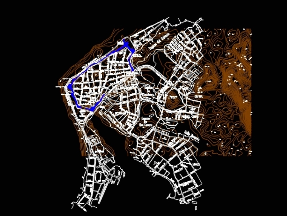
It contains the cadastral map of the walled city of cartagena de indias (colombia) and the levels of level every 2 meters; the dimensions can be reproduced in 3d modeling programs
Confirma el mail en Facebook e intenta nuevamente.
Confirma el mail en Google e intenta nuevamente.
_ACCOUNT_INACTIVE_ [email protected].

.")