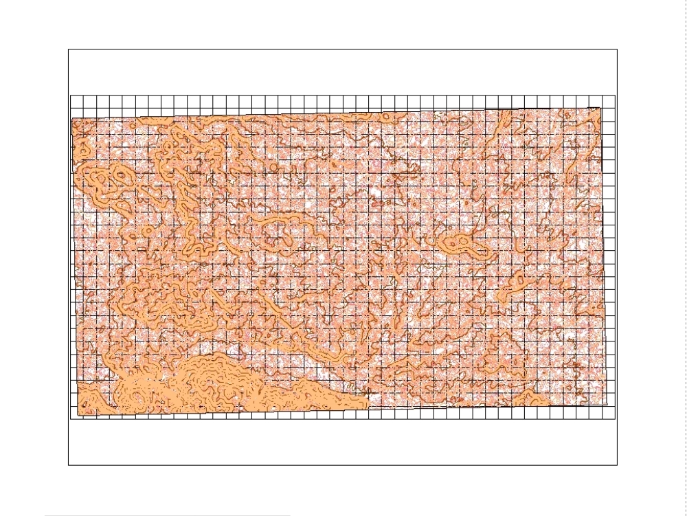
This topographic map in iran was developed by engineer davoud rashnev using google earth; global mapper and civil 3d software. the entire map has a grid and the curves are echoed. autocad - dwg.
Confirma el mail en Facebook e intenta nuevamente.
Confirma el mail en Google e intenta nuevamente.
_ACCOUNT_INACTIVE_ [email protected].

.")