
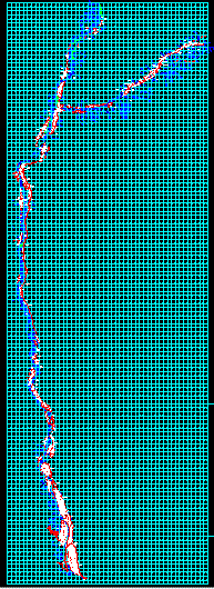
Rural property entitlement formalization project - - ocona, arequipa, peru dwg
.")
Cadastral base from the pacific ocean to the junction of canyon basin of cotahausi, mapped with coordinates utm - - universal transversal mercator. results of peru's combined special project of entitling rural lands and property records and the agency for formalization of informal ownership - - cofopri - pett. pett cofopri.