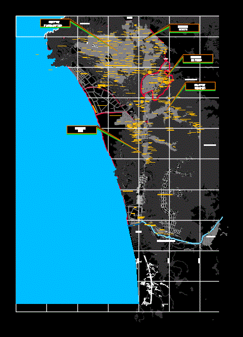
Plane window district general sectoring callao; graphically describes distribution of human settlements on the jurisdiction of said district. the plane is in the datum psad 56 - coordinate system: utm
Confirma el mail en Facebook e intenta nuevamente.
Confirma el mail en Google e intenta nuevamente.
_ACCOUNT_INACTIVE_ [email protected].

.")